Digital Ground Data Solutions

Every Site,
Measured & Modelled.

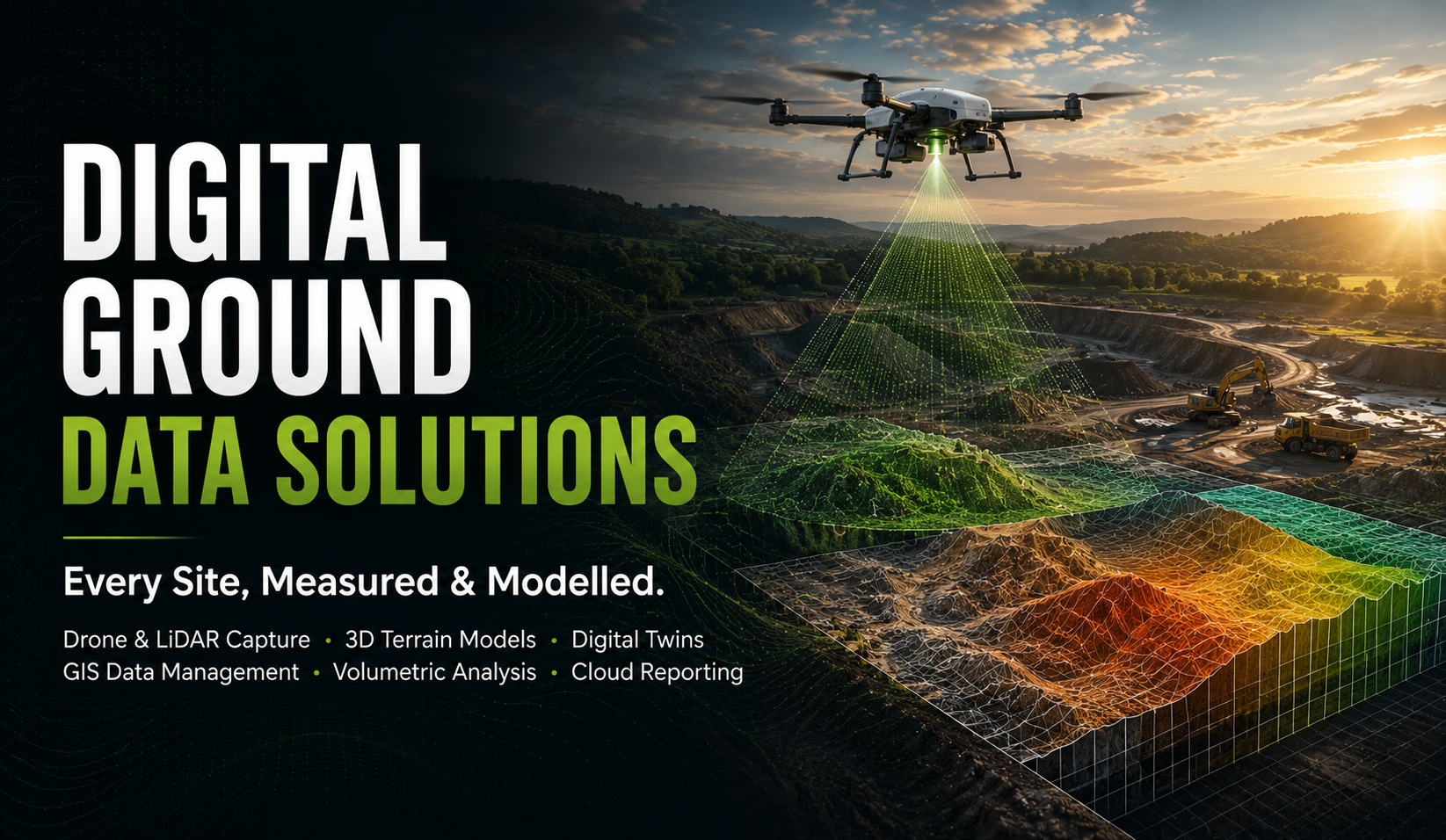
High-precision terrain intelligence and 3D geospatial modelling that transform how you see, measure, and manage physical sites — from drone and LiDAR capture through to cloud-hosted ground models, volumetrics, and as-built records.

3D
Terrain & volumetric modelling
LiDAR
Survey-grade drone & ground capture
Cloud
Hosted GIS & client reporting
What We Do

A Digital Record
of the Physical Site
Digital terrain and 3D ground modelling
Survey-Grade
Drone & LiDAR Capture · 3D Models · Digital Twins

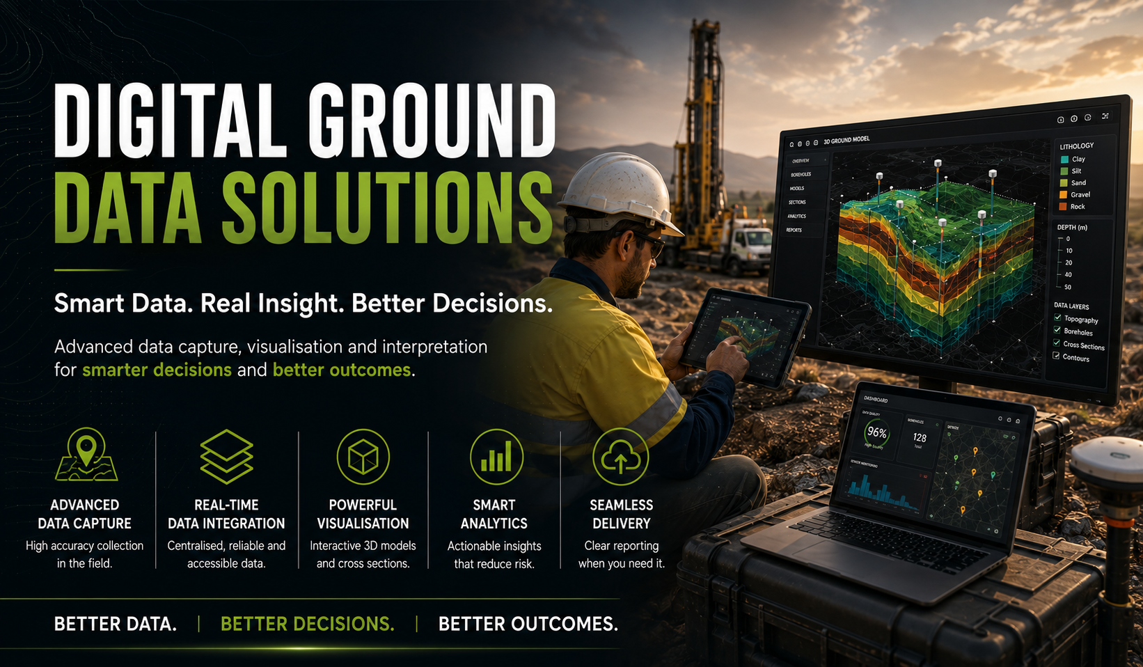
Digital Ground Data Solutions is how STS turns a physical site into an accurate, navigable digital record. Drone and LiDAR survey, GNSS positioning, and 3D geospatial modelling capture the terrain and structures on site at a level of precision a tape measure and a site plan can't match.

That data becomes a working tool, not just a record — cut/fill and volumetric analysis for earthworks planning, digital twins and as-built documentation that track a site through construction, and cloud-hosted GIS layers that sit alongside our geotechnical, environmental, and laboratory reporting.

Where our Instrumentation & Monitoring team watches how a site behaves over time, Digital Ground Data Solutions captures how a site is shaped — the terrain, volumes, and as-built conditions engineers and clients need to see, measure, and manage.

3D Terrain Modelling Drone & LiDAR Survey Digital Twins GIS Data Management Volumetric Analysis Cloud Reporting Portal
Our Capabilities

Terrain Intelligence,
Ready to Act On

3D Terrain & Ground Modelling

Borehole, geophysical, and survey data combined into 3D digital models that visualise topography, stratigraphy, and structure across a site.

Drone & LiDAR Survey

Aerial drone photogrammetry and ground-based LiDAR scanning capture survey-grade terrain data quickly, safely, and at scale.

Digital Twins & As-Built Records

Accurate, continuously updated digital replicas of a site that track real-world conditions through every stage of construction.

GIS Data Management & Visualisation

Site data, survey points, and monitoring layers hosted on cloud-based GIS platforms, accessible to engineers and clients from any device.

Volumetric & Earthworks Analysis

Cut/fill calculations, stockpile measurement, and progress tracking derived directly from survey data — no manual estimation.

Cloud Reporting Portal

A single client-facing dashboard for terrain models, volumetrics, and site data — updated as new survey and monitoring data comes in.

Work With Us

Ready to Map
Your Site?

Tell us about your project and site. We'll respond within one business day with an approach to terrain survey, 3D modelling, or digital reporting for your ground conditions.

Send an Enquiry +61 2 9756 2166