A Digital Record
of the Physical Site
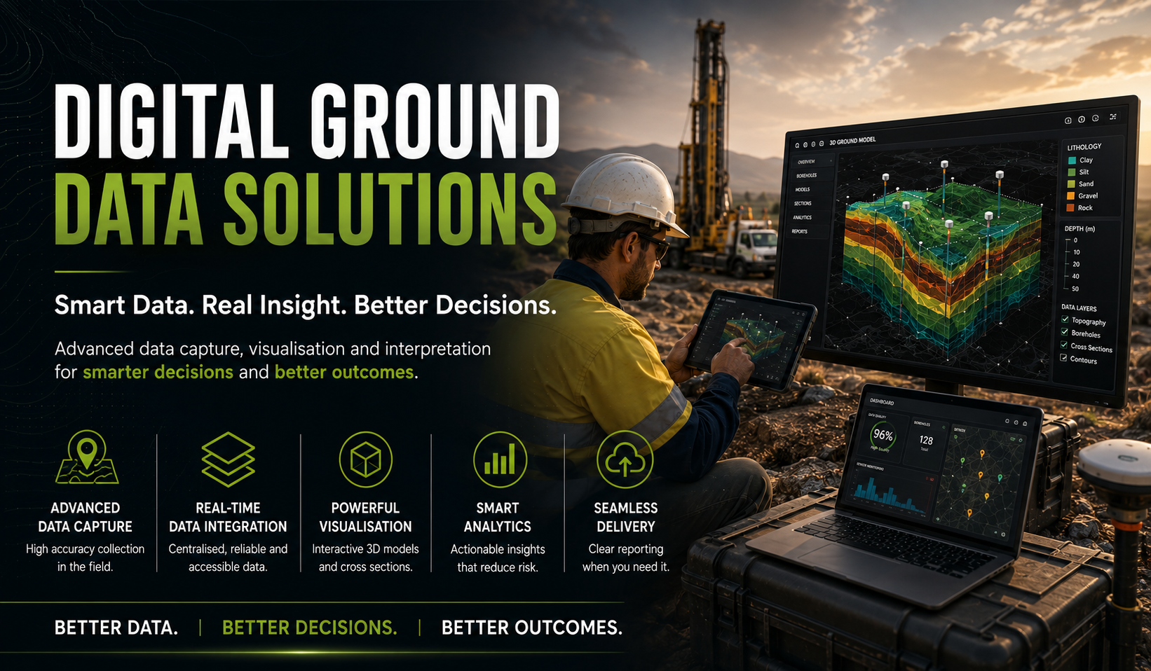
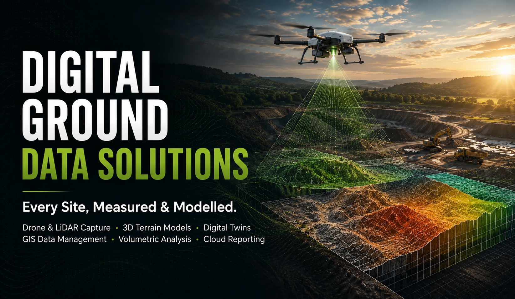
Digital Ground Data Solutions is how STS turns a physical site into an accurate, navigable digital record. Drone and LiDAR survey, GNSS positioning, and 3D geospatial modelling capture the terrain and structures on site at a level of precision a tape measure and a site plan can't match.
That data becomes a working tool, not just a record — cut/fill and volumetric analysis for earthworks planning, digital twins and as-built documentation that track a site through construction, and cloud-hosted GIS layers that sit alongside our geotechnical, environmental, and laboratory reporting.
Where our Instrumentation & Monitoring team watches how a site behaves over time, Digital Ground Data Solutions captures how a site is shaped — the terrain, volumes, and as-built conditions engineers and clients need to see, measure, and manage.